


sku: 1436
Delaware Bay Nautical Chart Reproduction
$32.00
2017 Nautical Chart of Delaware Bay
Framing Information
Framed Maps include UV filtering conservation glass, Drymounting, Sealed with brown paper, wired and ready to hang upon delivery.
Print Information
Maps are printed on heavy fine matte fine art paper with archival inks. Prints are trimmed to the listed size.
Related products
-
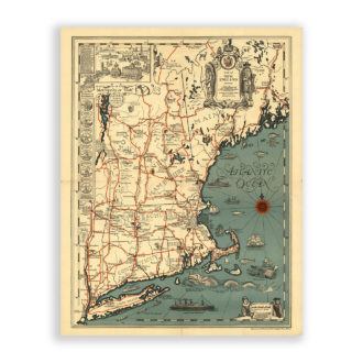
New England Antique Map Reproduction
$32.00 Add to cart -
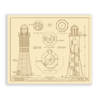
Scituate Lighthouse, Massachusetts Drawing and Plans Reproduction
$32.00 Add to cart -
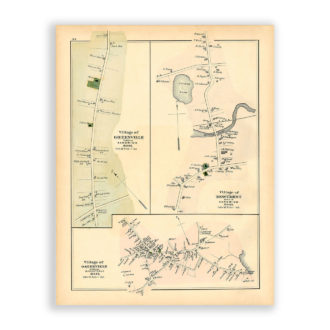
Osterville, Monument and Greenville Villages, Massachusetts Antique Map Reproduction
$32.00 Add to cart -
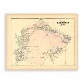
Town of Sandwich, Massachusetts Antique Map Reproduction
$32.00 Add to cart