


sku: 031-p79
Hull, Massachusetts Antique Map Reproduction
$32.00
1879 Old Map of Hull, Massachusetts
Framing Information
Framed Maps include UV filtering conservation glass, Drymounting, Sealed with brown paper, wired and ready to hang upon delivery.
Print Information
Maps are printed on heavy fine matte fine art paper with archival inks. Prints are trimmed to the listed size.
Related products
-
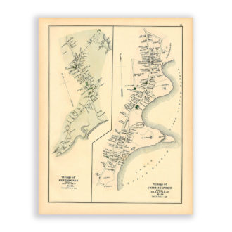
Villages of Cotuit and Centerville, Massachusetts Antique Map Reproduction
$32.00 Add to cart -
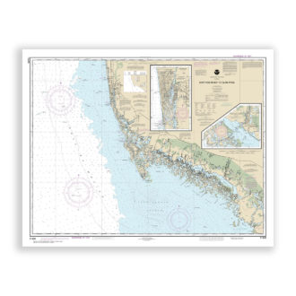
NAPLES and MARCO ISLAND, Florida Nautical Chart Reproduction
$32.00 Add to cart -
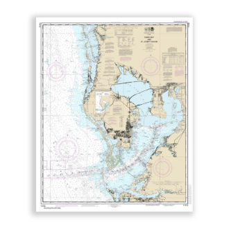
Tampa Bay, Florida Nautical Chart Reproduction
$32.00 Add to cart -
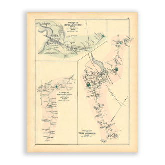
Buzzards Bay, Sandwich and Pocasset Villages, Massachusetts Antique Map Reproduction
$32.00 Add to cart