


sku: 0897
Lake Winnepesaukee Navigation Chart Reproduction
$32.00
1967 Old Nautical Chart of Lake Winnepesaukee
Framing Information
Framed Maps include UV filtering conservation glass, Drymounting, Sealed with brown paper, wired and ready to hang upon delivery.
Print Information
Maps are printed on heavy fine matte fine art paper with archival inks. Prints are trimmed to the listed size.
Related products
-
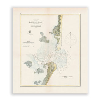
Barnegat Inlet, New Jersey Antique Nautical Chart Reproduction
$32.00 Add to cart -
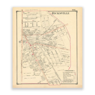
Hicksville, Nassau County Long Island, Antique Map Reproduction – Plate 100
$32.00 Add to cart -
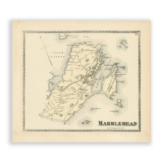
Marblehead, Massachusetts Antique Map Reproduction
$32.00 Add to cart -

Rockville Centre Terrace, Nassau County Long Island, Antique Map Reproduction – Plate 60
$32.00 Add to cart