


sku: 042-wc70
Milford Village, Massachusetts Antique Map Reproduction
$32.00
Originally Published in the Atlas of Worcester County, MA by F.W. Beers and Co. in 1870
Framing Information
Framed Maps include UV filtering conservation glass, Drymounting, Sealed with brown paper, wired and ready to hang upon delivery.
Print Information
Maps are printed on heavy fine matte fine art paper with archival inks. Prints are trimmed to the listed size.
Related products
-
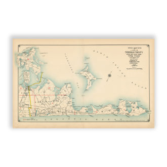
East Hampton – Sheter Island, Long Island, NY Antique Map Reproduction
$32.00 Add to cart -

Nantasket Beach – Bird’s Eye View, 1886
$32.00 Add to cart -

Rappahannock River – Chesapeake Bay, Virginia Nautical Chart Reproduction
$32.00 Add to cart -
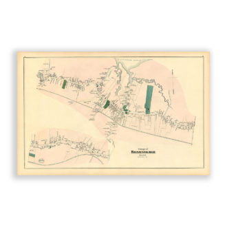
Barnstable Village, Massachusetts Antique Map Reproduction
$32.00 Add to cart