


sku: 1400
Cuttyhunk Harbor, Massachusetts Antique Nautical Chart Reproduction
$32.00
1939 Old Nautical Chart of Cuttyhunk Harbor, Massachusetts
Framing Information
Framed Maps include UV filtering conservation glass, Drymounting, Sealed with brown paper, wired and ready to hang upon delivery.
Print Information
Maps are printed on heavy fine matte fine art paper with archival inks. Prints are trimmed to the listed size.
Related products
-
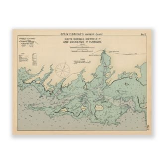
South Sheffield Island and Cockenoe Island Harbor, Connecticut Antique Nautical Chart Reproduction
$32.00 Add to cart -
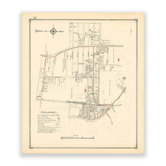
Roslyn Heights, Nassau County Long Island, Antique Map Reproduction – Plate 39
$32.00 Add to cart -
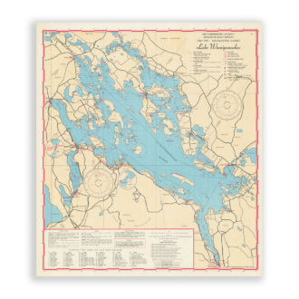
Lake Winnepesaukee Navigation Chart Reproduction
$32.00 Add to cart -
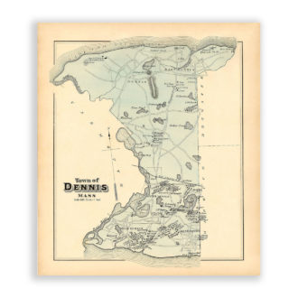
Town of Dennis, Massachusetts Antique Map Reproduction
$32.00 Add to cart